Storm Station
Sign in

In a volunteer observer's own ground

CWOP network, identified by the register

Identifier
CW2378
Latitude
29.97000 N
Longitude
90.22000 W
Elevation
7 ft
Rank
-

In a volunteer observer's own ground

Drawn as the kind of place it stands at. 456 instruments in Louisiana stand at one.

Station charts

Citizen station CW2378 Report

Rank
-
Against its reference, 30 days
-1.1 °Fcooler than the airport station KMSY, 3.9 miles away, on average over 84 readings; typical difference 1.5 °F; also compared with 2 other reference stations

Against its reference: each temperature this station reports is compared with the nearest airport or climate reference station that reported within half an hour, up to 15 miles away. The figure is its reading less the reference's, on average, as both were reported; the typical difference is the root mean square. The difference in height is shown where both heights are known.

Chart of the 933 ranked stations in Louisiana on Oct 16 by the share of their scheduled reports received in Storm Station's own record, up to 7 days, in tenths: 0 to 9 per cent, 1; 10 to 19 per cent, 12; 20 to 29 per cent, 17; 30 to 39 per cent, 9; 40 to 49 per cent, 33; 50 to 59 per cent, 73; 60 to 69 per cent, 39; 70 to 79 per cent, 44; 80 to 89 per cent, 73; 90 to 99 per cent, 333; 100 per cent, 299.WHERE IT RANKS IN LOUISIANA, Oct 16PER CENT OF SCHEDULED REPORTS RECEIVEDIN STORM STATION'S OWN RECORD, UP TO 7 DAYS1101000 to 9110 to 191220 to 291730 to 39940 to 493350 to 597360 to 693970 to 794480 to 897390 to 99333100299STATIONS, LOG SCALE
Chart of Citizen station CW2378's rank in Louisiana by how it reported, day by day, from 2026-10-05 to 2026-10-15: 2026-10-05 rank 765 of 812; 2026-10-06 rank 753 of 823; 2026-10-07 rank 761 of 943; 2026-10-08 rank 765 of 950; 2026-10-09 rank 918 of 939; 2026-10-10 rank 918 of 939; 2026-10-11 rank 921 of 951; 2026-10-12 rank 931 of 948; 2026-10-13 rank 938 of 940; 2026-10-14 rank 934 of 936; 2026-10-15 rank 927 of 927.ITS RANK IN LOUISIANA, DAY BY DAYRANK, FIRST AT THE TOP12505007501,000Oct 5Oct 7Oct 9Oct 11Oct 13Oct 15
The ranking these charts were drawn from, as tables
Share of scheduled reports receivedStations
100%299
90 to 99%333
80 to 89%73
70 to 79%44
60 to 69%39
50 to 59%73
40 to 49%33
30 to 39%9
20 to 29%17
10 to 19%12
0 to 9%1
DayRankStations rankedShare received
Oct 15, 20269279274.7%
Oct 14, 202693493611.6%
Oct 13, 202693894017.0%
Oct 12, 202693194825.5%
Oct 11, 202692195130.0%
Oct 10, 202691893935.1%
Oct 9, 202691893935.3%
Oct 8, 202676595045.6%
Oct 7, 202676194344.3%
Oct 6, 202675382346.9%
Oct 5, 202676581235.3%

Station report

Citizen station CW2378, in 3 sheets

Drawn from the register, in the manner of the Field Book, and opened beside the plates that explain each part of it.

1The column

Contents

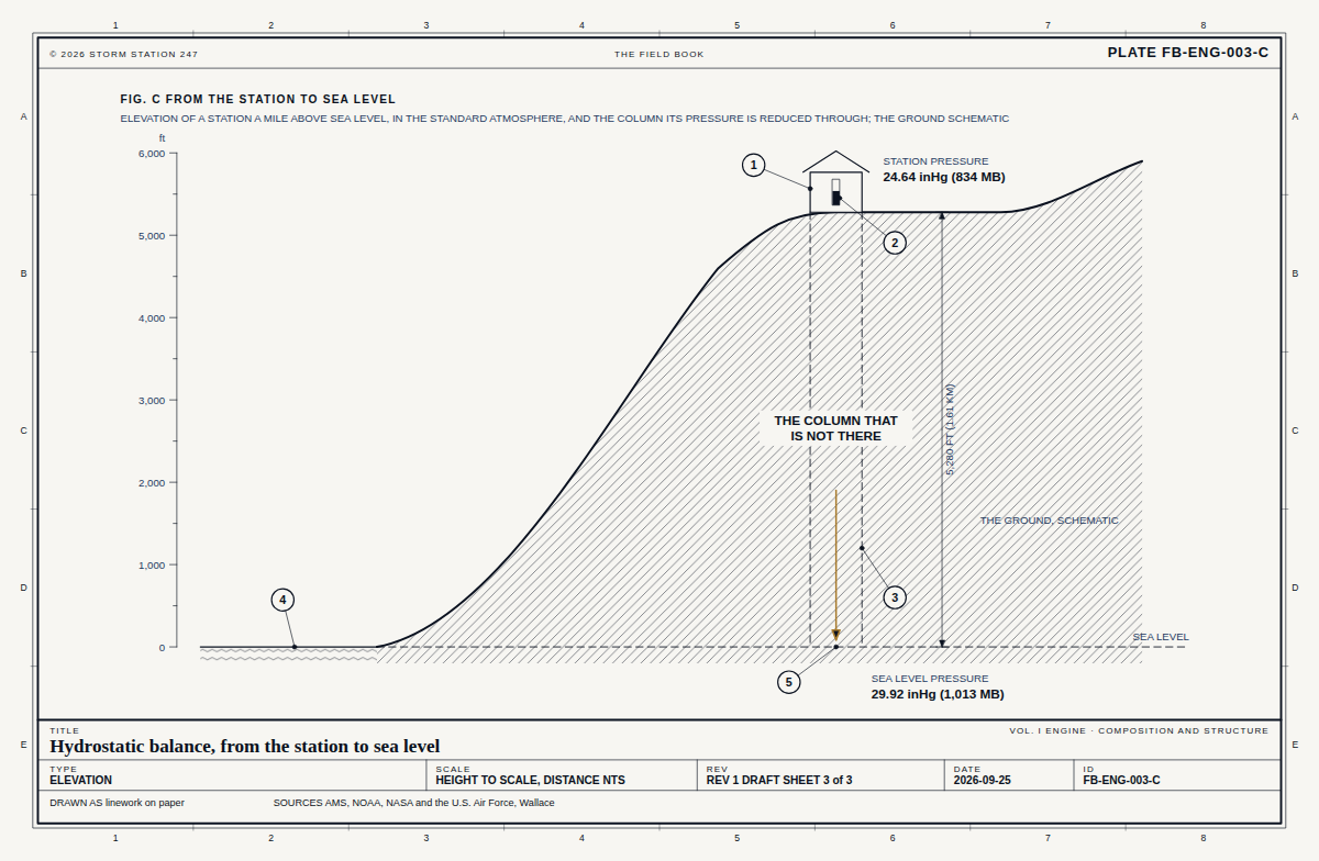
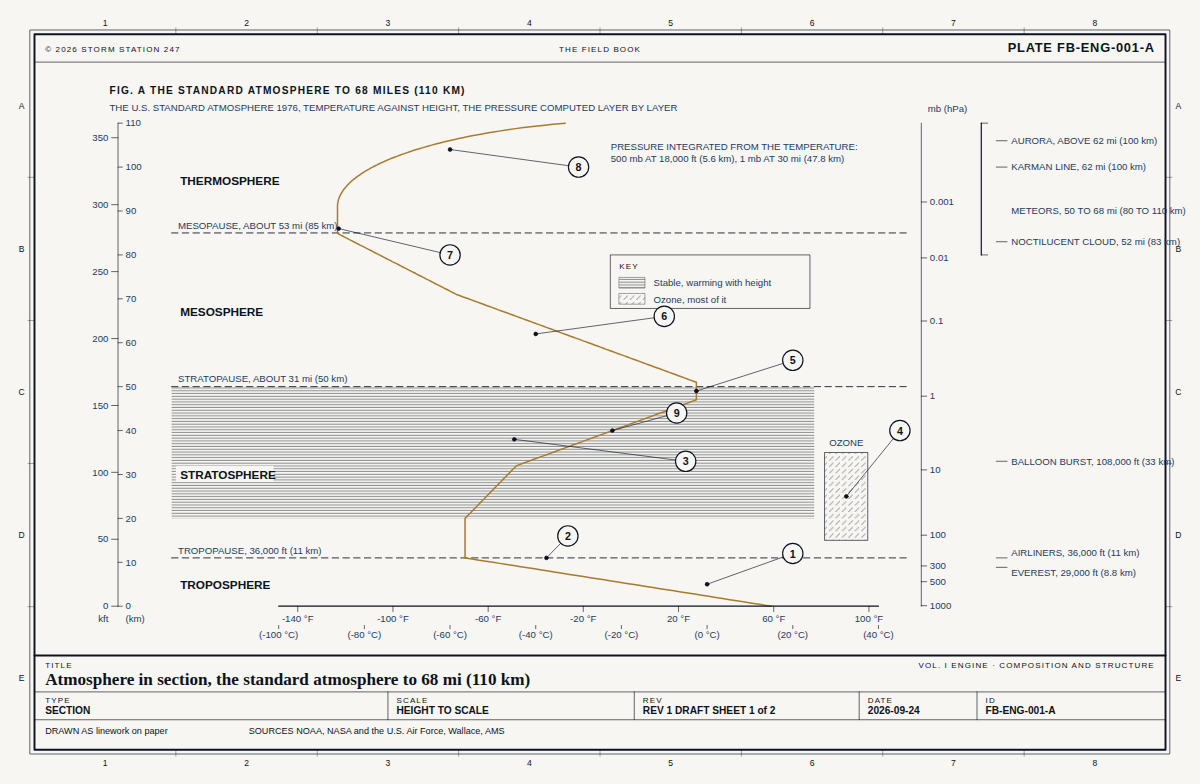
At 7 ft above sea level, 0 per cent of the atmosphere's air lies below the station. The standard atmosphere puts the pressure there at 29.91 inHg and the temperature at 59.0 F.

Section from sea level of where Citizen station CW2378 stands in the atmosphere, height to scale: the station 7 feet above sea level with 0 per cent of the air below it; the standard atmosphere's pressure there, 29.91 inches of mercury, and temperature, 59.0 degrees Fahrenheit.1122334455667788AABBCCDDEE© 2026 STORM STATION 247THE FIELD BOOKSTATION REPORT CW2378FIG. D WHERE CITIZEN STATION CW2378 STANDS IN THE ATMOSPHERESECTION FROM SEA LEVEL, HEIGHT TO SCALE, THE STATION IN THE STANDARD ATMOSPHEREFT ABOVE SEA LEVEL05,00010,00015,000SEA LEVEL, 29.92 inHg IN THE STANDARD ATMOSPHERECITIZEN STATION CW23780 PER CENT OF THE AIR BELOW IT7 FT10 PER CENT OF THE AIR BELOW, 2,890 FT20 PER CENT OF THE AIR BELOW, 6,050 FT30 PER CENT OF THE AIR BELOW, 9,540 FT40 PER CENT OF THE AIR BELOW, 13,470 FTSTANDARD PRESSURE HERE29.91 inHgSTANDARD TEMPERATURE HERE59.0 FTITLECitizen station CW2378, the columnSTATION REPORT · CWOP CW2378TYPESECTIONSCALEHEIGHT TO SCALEREVFROM THE REGISTER SHEET 1 of 3DATE2026-10-16IDSR-CW2378-1DRAWN AS linework on paperSOURCES FB-ENG-001, FB-ENG-003

From the Field Book

2The sun

Contents

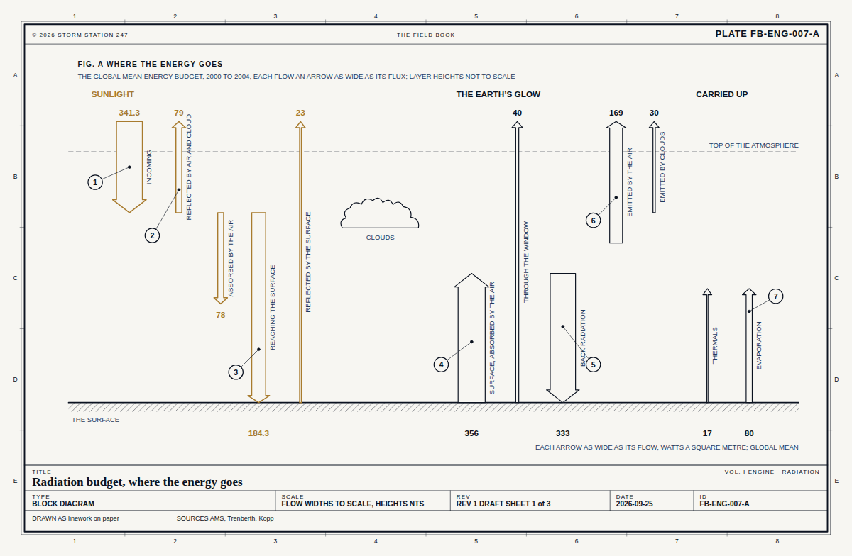
On Oct 16 the noon sun stands 51 degrees above the horizon at 29.97 N, and the day is 11 h 18 min long. Level ground there takes 78 per cent of the noon sunlight a surface facing the sun would.
Elevation of the noon sun at Citizen station CW2378, angles true: on Oct 16 it stands 51 degrees above the horizon, against 83 at the June solstice, 60 at the equinoxes and 37 at the December solstice; the day is 11 h 18 min long.1122334455667788AABBCCDDEE© 2026 STORM STATION 247THE FIELD BOOKSTATION REPORT CW2378FIG. E THE SUN AT CITIZEN STATION CW2378ELEVATION LOOKING WEST, SOUTH TO THE LEFT: THE NOON SUN ON THE DAY OF THE REPORT, AND AT THE SOLSTICES AND EQUINOXES; ANGLES TRUETHE STATIONJUNE SOLSTICE 83°EQUINOXES 60°DECEMBER SOLSTICE 37°OCT 16, 51°SOUTHANGLES TRUE; THE RAYS ARE OF ONE LENGTH AND DRAW DIRECTION ONLYDAY LENGTH 11 H 18 MINLEVEL GROUND TAKES 78 PER CENT OF THE NOON SUN A FACING SURFACE WOULDLATITUDE 29.97 N; THE SUN'S DECLINATION -9.1°TITLECitizen station CW2378, the sunSTATION REPORT · CWOP CW2378TYPEELEVATIONSCALEANGLES TRUEREVFROM THE REGISTER SHEET 2 of 3DATE2026-10-16IDSR-CW2378-2DRAWN AS linework on paperSOURCES FB-ENG-007

From the Field Book

3The instrument

Contents

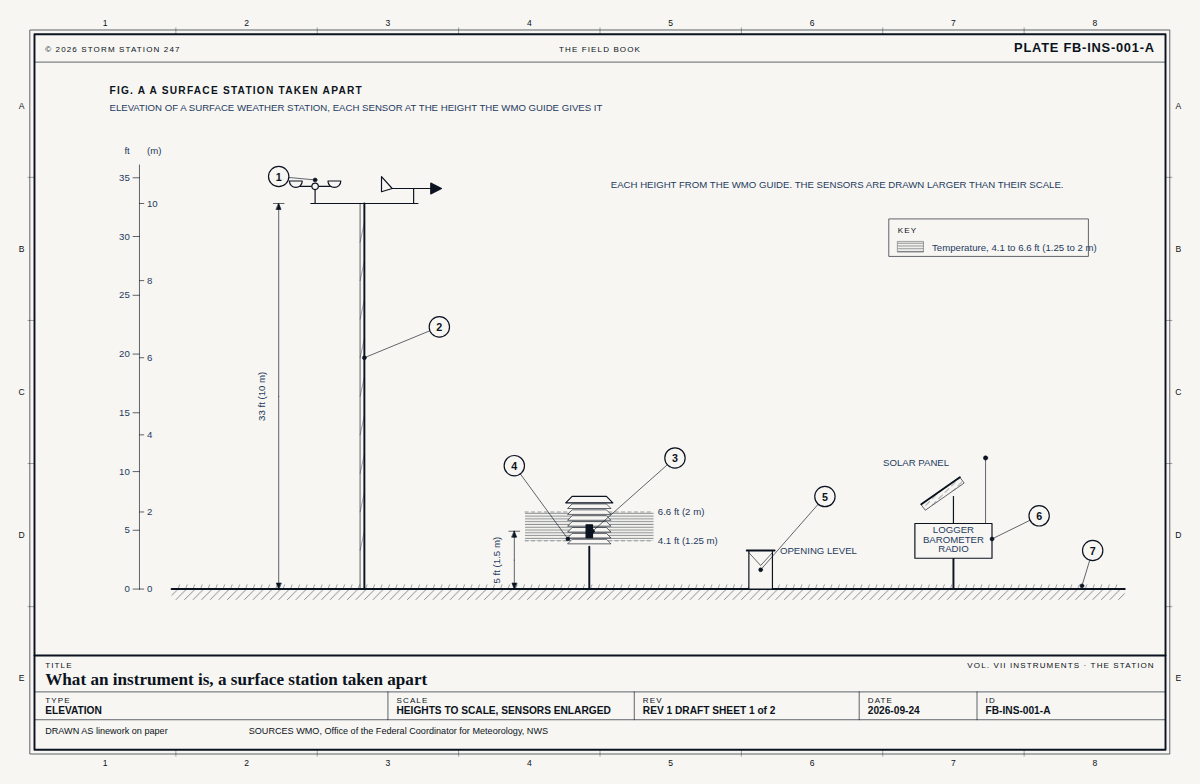
A weather instrument, 7 ft above sea level. Its sensors, as its network builds them.

Elevation of the instrument, Citizen station CW2378, each sensor drawn and labelled with what it read: no reading in the last day.1122334455667788AABBCCDDEE© 2026 STORM STATION 247THE FIELD BOOKSTATION REPORT CW2378FIG. F THE INSTRUMENTELEVATION OF THE INSTRUMENT, EACH SENSOR WITH WHAT IT READANTENNA, SENDING BY SATELLITE-AIR TEMPERATURE-PRECIPITATION GAUGE-SCHEMATIC; THE SPACING BETWEEN SENSORS IS NOT TO SCALETITLECitizen station CW2378, the instrumentSTATION REPORT · CWOP CW2378TYPEELEVATIONSCALESCHEMATICREVFROM THE REGISTER SHEET 3 of 3DATE2026-10-16IDSR-CW2378-3DRAWN AS linework on paperSOURCES FB-INS-001

From the Field Book

Near Citizen station CW2378